Outdoor
Nature lovers, are you ready to go?
We are working on the creation of hiking trails and outdoor activities.
Walking through vineyards, villages and cellars and cycling between farms, chapels and woods is the best way to experience and discover the beautiful and colorful landscapes that nature gives us.
A unique and fascinating panorama awaits you.
Just a little further and… backpacking!
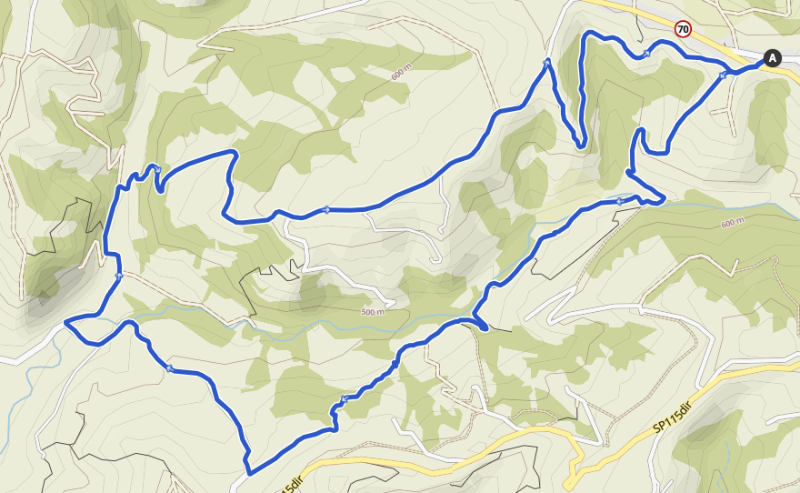
Route 01: Cadazzo Pareta
Distance: 11.4 km
Time: 03:26 hours
Difficulty: Intermediate
Height difference: 380m d+
Departure from San Rocco. A long circular route that descends into the Arzola valley, skirting the stream, until arriving near the village of Marsaglia. On an asphalt road you descend in the direction of Loc. Paretta. Climb up the ridge of the Maddalena hill to Cassadò, then descend on a dirt road, returning to the junction of Via San Rocco with SP661.

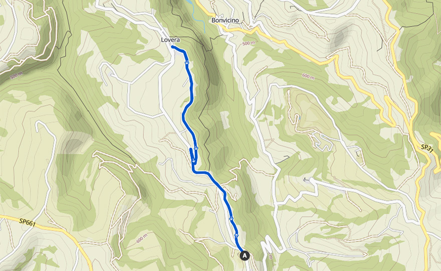

Percorso 02: Lovera
Distance: 5.68 km
Time: 01:34 hours
Difficulty: Easy
Height difference: 90m d+
Departure from the Windmill on an easy, scenic out-and-back route passing by the votive pillar of Santa Eurosia through lavender fields. A small stretch of asphalt road separates the second part of the trail from the hamlet of Lovera in the municipality of Bonvicino.


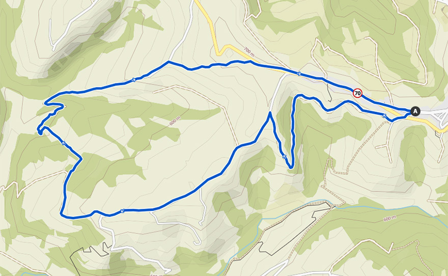
Route 03: Maddalena
Distance: 8.11 km
Time: 02:23 hours
Difficulty: Intermediate
Height difference: 340m d+
Departure from San Rocco. A beautiful loop route that passes along the ridge of the Maddalena hill, descending into the Costa valley: after crossing the stream, the route climbs up the ridge of the Lovazzuolo hill, returning to the SP 661 at San Sebastiano, from where it returns to the village.

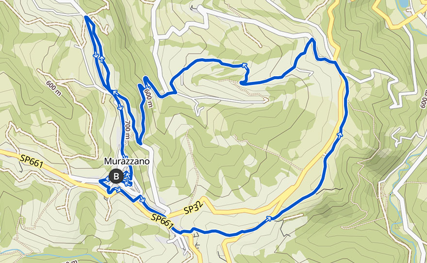

Route 04: murazzano urban trail
Time: 01:19 hours, running
Difficoltà: Intermediate
Height difference: 300m d+


Percorso 05: rea parco safari
Distance: 9.53 km
Time: 02:47 hours
Difficulty: Intermediate
Height difference: 280m d+
Departure from San Bernardo. On an asphalted road, one descends to Fraz. Rea, cross the bridge and continue on asphalt to the left. The road continues flat as far as Cascina Sofietti, then climbs up towards the Safari Park, along the Costa Pittagallo as far as the junction with SP 32, cross it and continue along the ridge over Bric Bruno, cross SP 32 once again and climb up Bric Sermenton, which leads to San Bernardo a few dozen metres away.


Route 06: rea santa margherita
Distance: 7.33 km
Time: 02:11 hours
Difficulty: Intermediate
Height difference: 230m d+
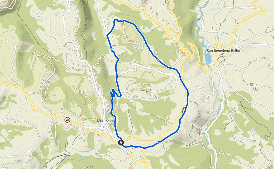
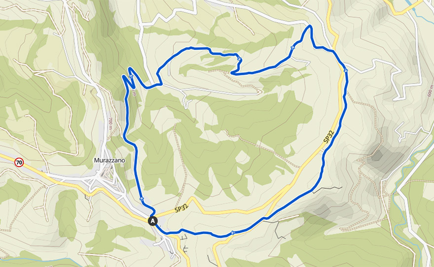
Departure from San Bernardo on an asphalted road, down towards Fraz. Rea, cross the bridge and continue for a few hundred metres before the road becomes unpaved. Passing through the hamlet of Santa Margherita, continue on asphalt until the crossroads with SP 32: cross it and continue along the ridge over Bric Bruno, cross SP 32 once again and climb up Bric Sermenton, which leads to San Bernardo a few dozen metres away.


